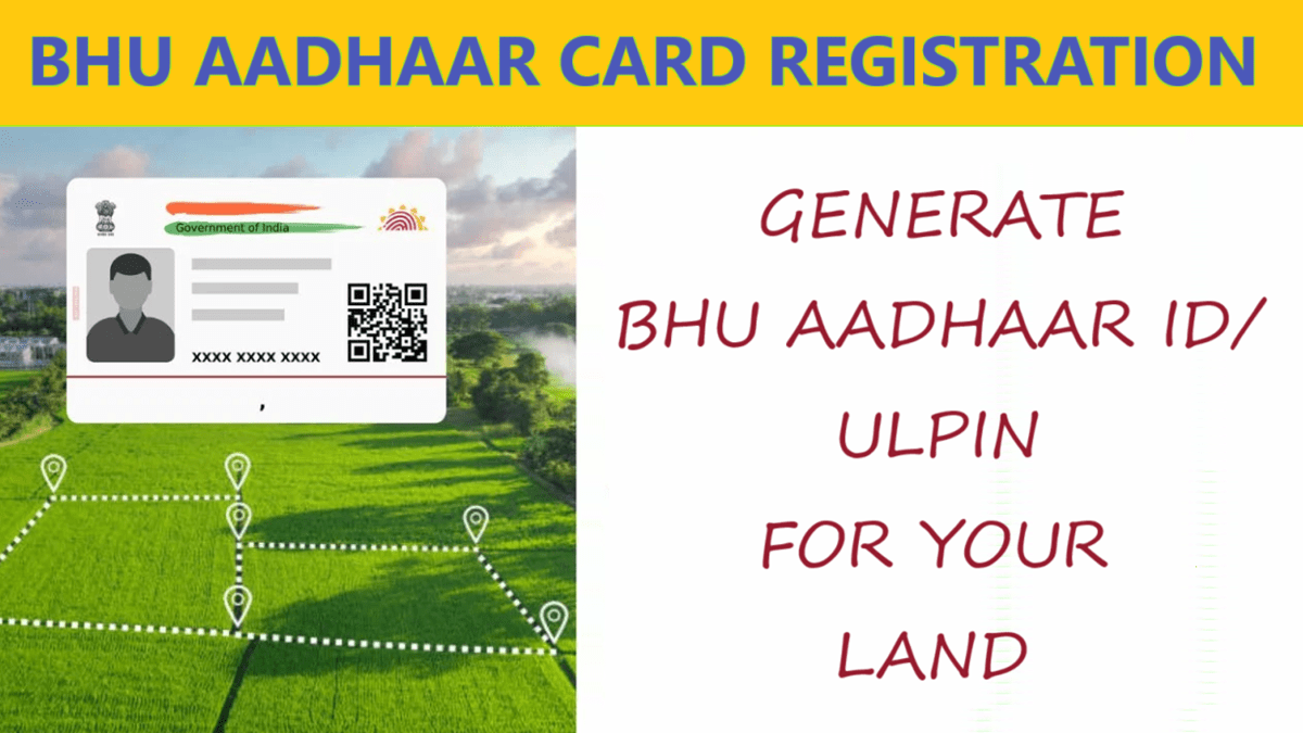
Bhu Aadhaar Card registration 2024 process has been started by central government, apply online to generate ULPIN for your land. Bhu Aadhaar ID or Unique Land Parcel Identification Number (ULPIN), is part of the Digital India Land Records Modernization Programme (DILRMP). Bhu Aadhaar ID aims to digitize and uniquely identify land parcels in India. In this article, we will tell you how to apply online for Bhu Aadhar ID Card to generate 14 digit ULPIN for your land.
What is Bhu Aadhaar Card?
Bhu Aadhaar ID or ULPIN is a 14-digit identification number accorded to a land parcel based on its longitude and latitude coordinates and depends on detailed surveys and geo-referenced cadastral maps. ULPIN is a Single, Authoritative Source of Truth for information on any parcel of land or property to provide Integrated Land Services to the citizens as well as all stakeholders. Bhu Aadhaar Card has 14 digit ULPIN / Bhu Aadhaar ID printed on it just like Aadhaar card has Aadhar number printed on it. ULPIN system is based on international standard which complies, with Electronic Commerce Code Management Association (ECCMA) standard and Open Geospatial Consortium (OGC) standard.
Objectives of Bhu Aadhar Card
The key objectives of ULPIN/Bhu-Aadhaar are:
- To assign a unique ID to each plot of land for easy identification and retrieval of records
- To create accurate digital land records with details of land owners, plot boundaries, area, usage, etc.
- To link land records and property registration processes
- To facilitate online delivery of land record services
- To assist in government planning by maintaining updated land data
Bhu Aadhaar Card Registration – ULPIN Generation
- There is a formula to generate and assign ECCMA (Electronic Commerce Code Management Association) Standard prescribed 14 digit Unique ID “Property Natural Identifier Unit” (PNIU) using the parcel Geo Referenced coordinate of vertices
- This computationally generated Unique ID would be organically dependent on Parcel vertices expressed in Lat/Long coordinates “property Natural Identifier Lot” (PNIL) and Unique ID (PNIU) would spatially be pointing to the surface of the parcel.
How does ULPIN/Bhu-Aadhaar work?
The ULPIN/Bhu-Aadhaar number is assigned to a plot of land through the following steps:-
- Geotagging: The plot is first geotagged using GPS technology to identify its precise geographic location.
- Surveying: Land surveyors then physically verify and measure the plot boundaries.
- Attribute data collection: Details like land owner name, usage category, area, etc., are collected for the plot.
- Data entry: All the collected details are entered into the land records management system.
- ULPIN generation: The system automatically generates a unique 14-digit ULPIN for the plot linked to the digital record.
Once the ULPIN is generated, it is stamped on the physical land record document held by the owner. The same ULPIN will be permanently attached to the plot of land. Even if the land is transferred, subdivided, or undergoes any change, the ULPIN will remain the same for that geographic boundary.
Information in Bhu Aadhaar ID or ULPIN
ULPIN is a 14-digit alpha-numeric unique ID generated using the longitude and latitude coordinates of the land parcel. It is based on detailed surveys and geo-referenced cadastral maps. Each Bhu Aadhaar Card issued for a land parcel will contain ULPIN number / Bhu Aadhaar ID of 14 digits printed on it. It will cover all land parcels – rural as well as urban. The 14-digit ULPIN contains the following information embedded within it:-
- State code
- District code
- Sub-district code
- Village code
- Unique plot ID number
Benefits of ULPIN
- Unique Land Parcel Identification Number (ULPIN) is a unique alphanumeric code assigned to each individual land parcel to provide a standardized and unambiguous identification system.
- It serves as a crucial tool for land administration, property management, and real estate transactions.
- ULPIN is designed to streamline the process of identifying and tracking land parcels, thereby enhancing transparency, efficiency, and accuracy in land-related activities.
- Proper land statistics and land accounting through ULPIN will help develop land banks. It will lead towards the Integrated Land Information Management System (ILIMS).
- ULPIN may include ownership details of the plot besides its size and longitudinal and latitudinal details.
- This would facilitate real estate transactions; help resolve property taxation issues and improve disaster planning and response efforts.
- It would be enabler for deciding entitlement of beneficiaries of schemes that are based on quantum of land possessed and also reduces boundary disputes.
- ULPIN would prove an important milestone for furtherance of Geospatial Policy 2022 of the Government.
Implementation Status of Bhu Aadhaar Card
ULPIN has, so far, has been rolled out in 29 States viz. Andhra Pradesh, Jharkhand, Goa, Bihar, Odisha, Sikkim, Gujarat, Maharashtra, Rajasthan, Haryana, Tripura, Chhattisgarh, Jammu & Kashmir, Assam, Madhya Pradesh, Nagaland, Mizoram, Tamil Nadu, Punjab, Dadra and Nagar Haveli & Daman and Diu, Himachal Pradesh, West Bengal, Uttar Pradesh, Uttarakhand, Kerala, Ladakh, Chandigarh, Karnataka and NCT of Delhi. Further, Pilot testing of ULPIN has been done in 4 States / UTs- Puducherry, Telangana, Manipur and Andaman & Nicobar Island.
Some States /UTs like Madhya Pradesh, Ladakh and J&K are also using ULPIN in SVAMITVA.
Source / Reference link: https://dolr.gov.in/ulpin/

![All India ODOP List [y] PDF - Check State / District Wise ODOP Products under PMFME Scheme ODOP List PDF State District Wise](https://hindustanyojana.in/wp-content/uploads/2024/08/odop-list-pdf-state-district-wise.png)

![Skill India Digital Courses List [y] - Find SIDH Training Centres SIDH Courses/Training Centres List](https://hindustanyojana.in/wp-content/uploads/2024/09/sidh-courses-training-centres-list.png)
![Skill India Digital Hub Portal Registration [y], Login at www.skillindiadigital.gov.in Skill India Digital Hub Portal Registration Login skillindiadigital](https://hindustanyojana.in/wp-content/uploads/2024/09/skill-india-digital-hub-portal-registration-login-skillindiadigital.png)
![List of Top 25 Agricultural Schemes in India [y] for Welfare of Farmers List of Top 25 Agricultural Schemes in India](https://hindustanyojana.in/wp-content/uploads/2024/08/list-of-top-25-agricultural-schemes-in-india.png)
![U Win Portal Registration [y] & Login for Vaccination of Pregnant Women / Children U WIN Portal Registration & Login](https://hindustanyojana.in/wp-content/uploads/2024/10/u-win-portal-registration-login.png)
![PM Internship Scheme Portal Registration [y] & Login at pminternship.mca.gov.in PM Internship Yojana Registration](https://hindustanyojana.in/wp-content/uploads/2024/09/pm-internship-yojana-registration.png)
![Bhaskar ID Registration Form [y] - Apply Online for BHASKAR ID in Startup India Bhaskar ID Registration Online](https://hindustanyojana.in/wp-content/uploads/2024/09/bhaskar-id-registration-online.png)